International School - Hue University
Study Local, Work Global
International School - Hue University
Study Local, Work Global

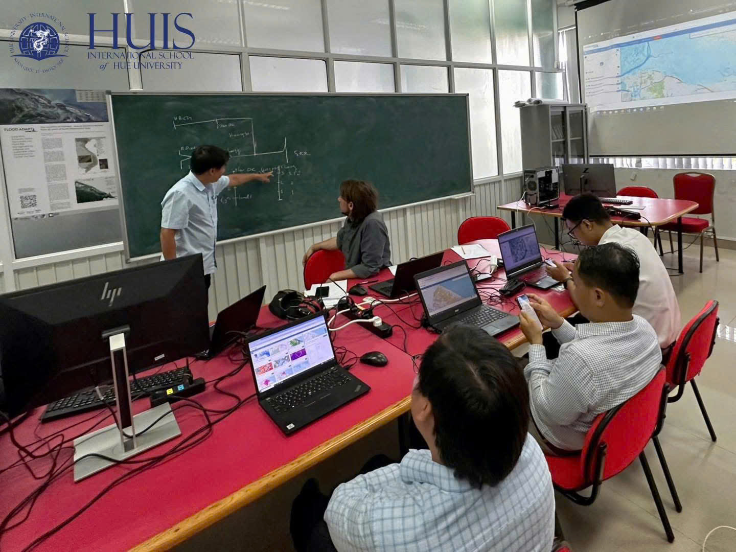
On April 8, 2025, the International School – Hue University, a member of both the CADEO Project and FloodAdaptVN Project, co-organized a research seminar titled Geospatial Web Applications for Flood Management in Hue City. The seminar served as a scientific platform connecting researchers from Vietnam and Germany to exchange innovative, open-source solutions for flood risk management in urban areas.
Participants included researchers, lecturers, and students from Hue University, technical experts from the Hue-S Smart City Monitoring and Operations Center, and officers from the Hue City Steering Committee for Natural Disaster Prevention and Search and Rescue.
During the seminar, Dr. Michael Schultz from Tuebingen University (Germany) introduced FRAME – a geospatial web platform built on open-source technologies. Utilizing Docker-based deployment, FRAME enables real-time flood risk visualization and scenario modeling to support evidence-based decision-making and emergency response planning.
This seminar also formed part of the Geospatial Web Applications course being piloted at the International School within the CADEO project’s curriculum reform framework. The course equips students with both theoretical foundations and practical skills in using web-based geospatial tools for urban planning, flood monitoring, and spatial data analysis.
By engaging with tools like FRAME and learning from international expertise, participants – especially local disaster response teams and smart city specialists – gained valuable insights into how digital geospatial solutions can enhance climate resilience, data-driven governance, and smart urban management in flood-prone cities like Hue.